Home » The Park » Itineraries
(SI P14N) Campotosto - Cesacastina


- Departure: Campotosto (1,393m)
- Arrival: Cesacastina (1,181m)
- Length: 10.9 km
- Difference in height: Uphill 586m - Downhill 803m
- Minimum Altitude: 1,167m
- Maximum Altitude: 1,985m
- Lap no.207 of Sentiero Italia CAI
A stop of medium length and difference in height that leaves the Campotosto Lake by crossing the Apennine ridge and returning to the bed of the Vomano stream.
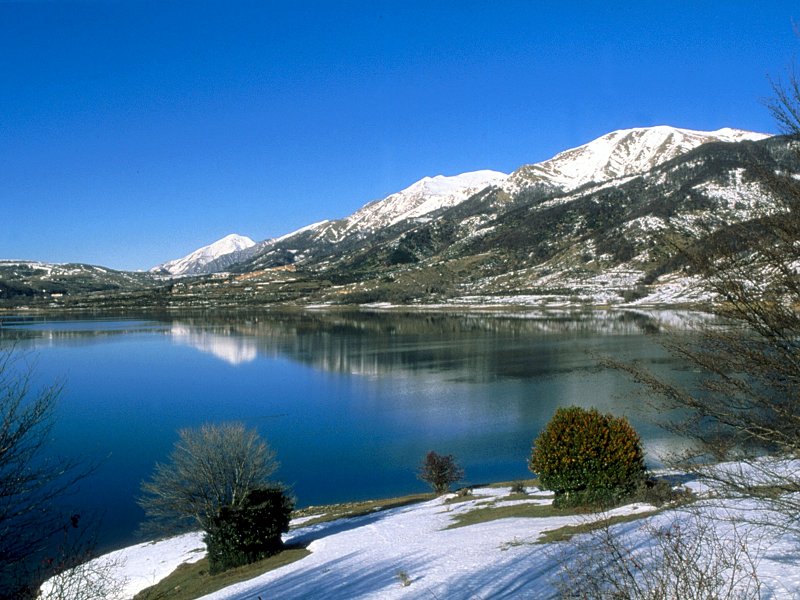
Campotosto Lake
(photo by Archivio Ente Parco)
(photo by Archivio Ente Parco)


 Download KMZ