Home » The Park » Itineraries
(SI P14) Campotosto - Amatrice

- Departure: Piano Battaglia (1,393m)
- Arrival: Amatrice (866m)
- Length: 14.1 km
- Difference in height: Uphill 198m - Downhill 725m
- Minimum Altitude: 865m
- Maximum Altitude: 1,577m
- Lap no.206 of Sentiero Italia CAI
From the central square of Campotosto, you will face the small uphill road towards the north (v. Castello) that, passing through the upper part of the town, will take you along the path no. 359 on Mount Cardito, where you could admire a wonderful 360° panorama near a small refuge.
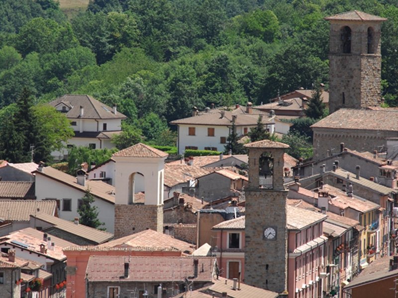
Amatrice
(photo by Archivio Ente Parco)
(photo by Archivio Ente Parco)
 Download KMZ